
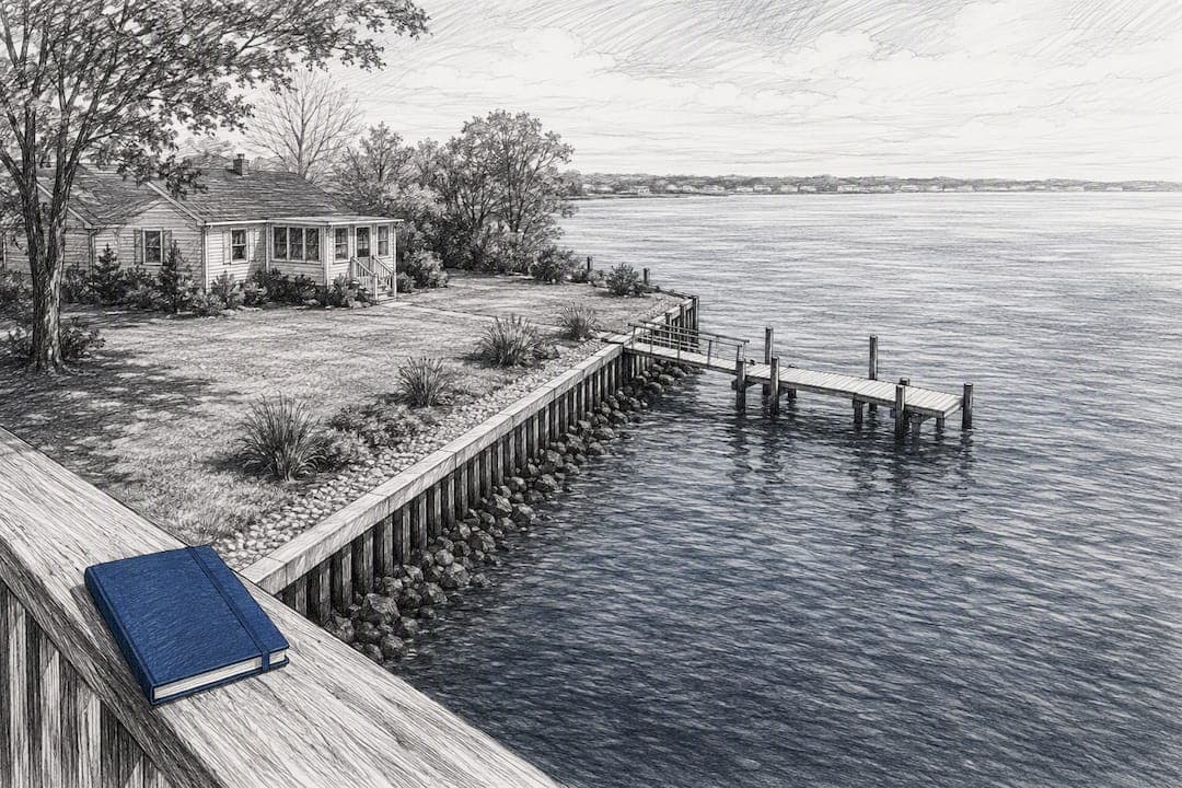
A state-certified waterfront property appraisal in New Jersey gives you a defensible market value that accounts for flood risk, elevation compliance, and permit status, often the factors that move value more than kitchen upgrades or square footage. If you need evidence for an estate filing, a divorce settlement, or a tax appeal, order a USPAP-compliant appraisal before you file anything. The report becomes your foundation for every negotiation that follows.
TL;DR:
- Flood zone designation and elevation compliance are primary value drivers, with properties meeting or exceeding the ABFE standard generally appraising higher.
- Appraisers rely on all three approaches—sales comparison, cost, and income—adjusting for shoreline type, permits, and flood risk, especially in cases with limited recent sales.
- Timing is critical; verify flood maps and permit status before commissioning an appraisal to avoid costly rework and ensure comparable selection accuracy.
- Legal and financial uses demand USPAP-compliant, well-documented reports that incorporate flood and permit data, with appraisers prepared for testimony.
- Property owners should collect all relevant documents upfront and be clear about the report's purpose and use to streamline the appraisal process.
Table of Contents
- What makes waterfront properties different from appraise in New Jersey
- Appraisal approaches and what an appraiser will analyze for a waterfront parcel
- How waterfront appraisals are used in New Jersey legal and financial processes
- Deadlines, permits, and regulatory resources every owner should check in New Jersey
- What to gather and expect: documentation and site checklist for owners and attorneys
- How NJREAG approaches waterfront appraisals and court-defensible reporting
- Where waterfront appraisal advice gets it wrong
- How to request a state-certified waterfront appraisal from NJREAG
- Sources
- FAQ
What makes waterfront properties different from appraise in New Jersey
Waterfront parcels carry variables that inland properties simply don't have. An appraiser working a shore or lakefront property has to weigh flood exposure, structural compliance, and permit history alongside the usual condition and location factors.
Flood zone designation is the starting point. New Jersey adopted Advisory Base Flood Elevations and emergency elevation rules after Superstorm Sandy, and many reconstruction projects in affected areas must meet the ABFE or a higher elevation standard, according to the state's flood elevation guidance. Appraisers check whether the lowest floor clears the "FEMA plus one foot" benchmark, since that single detail can swing value significantly in either direction.
Beyond elevation, several other factors shape the number an appraiser lands on:
- Flood zone status pulled from effective FEMA maps, not preliminary drafts
- Bulkhead and dock permits, since unpermitted shore structures can trigger removal orders
- Shoreline erosion and access, which affects buildability and long-term marketability
- Utility limitations, including septic or well constraints common on older waterfront lots
Lowest floor elevation relative to the state's ABFE standard is one of the most consistent value drivers appraisers document, under New Jersey's post-Sandy elevation rules. A property that meets or exceeds that standard typically appraises higher than an identical structure that doesn't, all else being equal.
Appraisal approaches and what an appraiser will analyze for a waterfront parcel
Appraisers rely on three recognized approaches, and waterfront properties often require all three to cross-check the final opinion of value.
The sales comparison approach is the backbone of most residential waterfront appraisals. Finding truly comparable sales means looking beyond the closest neighborhood: a bulkheaded lot on a tidal creek isn't comparable to a bay-front lot with a private dock, even if they're a mile apart. Adjustments account for shoreline type, water access, view, and flood zone.
The cost approach matters more here than in typical inland appraisals, particularly for irreplaceable or heavily customized waterfront lots where recent sales are thin. It estimates land value separately, then adds depreciated replacement cost for improvements.
The income approach comes into play when the property generates rental income, boat slip fees, or seasonal lease revenue, common on multi-family waterfront parcels or investment properties.
Across all three approaches, appraisers pull supporting data from a few core sources:
- FEMA's flood maps to confirm zone designation and elevation requirements
- NJ-GeoWeb and municipal records for permit and zoning history
- Title records to flag easements, encroachments, or right-of-way issues affecting the shoreline
For a deeper look at how site-specific factors get weighted, see our explanation of land appraisal methods for New Jersey cases.
How waterfront appraisals are used in New Jersey legal and financial processes
An appraisal isn't just a number. In legal and financial settings, it's evidence, and it has to hold up under scrutiny.
- Estate valuations. Executors sometimes use the alternate valuation election under IRC §2032 when property values decline within six months of death, and a retrospective appraisal supports that election on Form 706.
- Divorce and equitable distribution. New Jersey courts expect court-ready reports, and appraisers may need to testify to the methodology behind the value. A waterfront property's flood risk and permit status often become contested points between spouses' experts.
- Property tax appeals. County Boards of Taxation evaluate appeals against a market-value standard, and the state's own guidance notes that appraisals submitted as evidence generally require the appraiser to appear and testify.
A defensible, well-documented appraisal changes the tenor of every conversation that follows it. Opposing counsel, a spouse's attorney, or a county assessor is far less likely to challenge a value that's backed by mapped flood data, permit verification, and a clearly reasoned comparable selection.
Deadlines, permits, and regulatory resources every owner should check in New Jersey
Timing matters as much as accuracy. Miss a filing window and the strongest appraisal in the world won't help you.
- Tax appeal deadline: April 1 in most counties, but Burlington, Monmouth, and Gloucester counties use January 15 or 45 days from the bulk mailing of assessment notices, whichever comes later
- Revaluation years: Some years have an extended deadline of May 1 due to municipal-wide reassessments
- Flood zone verification: check the property's effective map through FEMA's Flood Map Service Center before relying on any online estimate
- Permit history: NJDEP's mapping and data tools help confirm whether shoreline structures were built with proper authorization, per the department's permit applicability guidance
Preliminary FEMA maps are advisory only. They don't carry legal weight until they become effective, so don't base a valuation or an insurance decision on a draft map.
Pro Tip: Pull the property's flood map and permit history before you commission the appraisal, not after. It saves the appraiser time and often changes which comparable sales are worth pursuing.
For the exact math on your county's deadline, our breakdown of NJ property tax appeal deadlines walks through each date.
What to gather and expect: documentation and site checklist for owners and attorneys
A waterfront appraisal moves faster and holds up better when the appraiser has the right paperwork upfront.
- Collect your documents first: title report, prior survey, previous appraisals, elevation certificate, insurance declarations page, and any permits for docks, bulkheads, or seawalls.
- Arrange site access and be ready to point out anything that isn't obvious from the street, like a bulkhead repair or an unpermitted addition near the water.
- Document unpermitted structures honestly. Trying to hide an issue only delays the report and weakens its credibility later.
- Brief the appraiser clearly on intended use (estate, divorce, tax appeal), intended user (court, attorney, executor), and the effective date you need, especially for retrospective assignments.
Retrospective appraisals, litigation support, and permit research each add time to the assignment, since the alternate valuation process for estates often requires pinpointing a value as of a specific past date rather than today. Expect turnaround to run longer than a standard purchase appraisal when any of these apply.
For a fuller walkthrough, see how to build a defensible appraisal for a NJ tax appeal.
How NJREAG approaches waterfront appraisals and court-defensible reporting
We're a state-certified appraisal firm, and every report we produce follows USPAP, the national standard maintained by The Appraisal Foundation. That matters because courts, county boards, and estate attorneys expect reports built to that standard, not a desktop estimate.
Our work spans all 21 New Jersey counties, so we're familiar with how ABFEs and DEP special area designations play out differently on a bay in Ocean County versus a lake in Sussex County. For waterfront assignments, that means:
- Checking effective FEMA flood zones and elevation requirements against the specific parcel
- Verifying permit status for bulkheads, docks, and shoreline repairs before finalizing adjustments
- Delivering a narrative report with supporting maps, photo documentation, and permit verification
- Making the appraiser available for testimony when a case goes to a County Board or court
Where waterfront appraisal advice gets it wrong
Most guidance on waterfront valuation treats flood zone and permit status as footnotes, checkboxes to clear before focusing on comparable sales. That's backward. In our view, those two factors are frequently the primary driver of value on shore and lakefront property, not a secondary adjustment.

The bigger blind spot is timing. Owners and even some attorneys wait until a dispute is already underway to think about flood maps or permit history, when that information should shape the appraisal strategy from day one. A property with an unpermitted bulkhead isn't just a minor flag, it's a liability that can require costly remediation, and pretending otherwise in a report only invites challenge later.
If you take one thing from this: verify elevation and permit status before you commission anything, not after. It changes which comparables make sense and can save weeks of rework once litigation or an appeal is already in motion.
— Alek
How to request a state-certified waterfront appraisal from NJREAG
If you're dealing with a shore or lakefront property in an estate matter, a divorce, or a tax appeal, you need a report that holds up under review, not a rough estimate. We handle waterfront assignments for estate and date of death valuations, court-ready divorce appraisals, property tax appeal support, pre-listing appraisals, and retrospective assignments.

To request a quote, send us the property address, the intended use of the report, and any flood or permit documentation you already have. Every report we deliver is USPAP-compliant, state-certified, and checked against current New Jersey flood and permit records. Start with our property tax appeal appraisal services page, or call us directly at (908) 517-3913 to discuss your timeline.
This article is general information, not a substitute for advice from a qualified financial advisor. Consult a qualified financial professional about your own circumstances before acting on anything here.
Sources
- NJ Division of Taxation - Assessment and Appeals
- FEMA Flood Map Service Center
- FLOOD ELEVATION FAQs: New Jersey’s Emergency Flood Elevation Rule
- The Appraisal Foundation — USPAP
FAQ
How do you value a waterfront property?
Appraisers combine the sales comparison approach with cost and, when relevant, income analysis, while adjusting for flood zone, elevation compliance, and permit status on shore structures. FEMA's flood mapping data and NJDEP permit records inform those adjustments directly.
How much does a waterfront appraisal cost in NJ?
Pricing depends on the type of assignment and the property's complexity. NJREAG's property tax appeal appraisals run $495 to $750, estate and date of death appraisals run $595 to $850, and divorce appraisals run $550 to $800.
What qualifies as waterfront property?
Waterfront property generally means a parcel with direct access to or frontage on a body of water, such as an ocean, bay, river, or lake, often with features like a dock, bulkhead, or private beach. In New Jersey, that frontage typically triggers additional flood zone and DEP permit considerations that inland properties don't face.
When is the deadline to file a NJ property tax appeal?
The standard deadline is April 1, but Burlington, Monmouth, and Gloucester counties use January 15 or 45 days from the assessment notice mailing, whichever is later. Municipal revaluation years shift the deadline to May 1.
Where can I check if my NJ property is in a flood zone?
Use FEMA's Flood Map Service Center to pull the property's effective flood map and zone designation. Preliminary maps are guidance only and shouldn't be used as the final word until FEMA makes them effective.